Paul's Journeys (Abingdon Bible Land Maps Series)
2001-01-01
Publisher Description
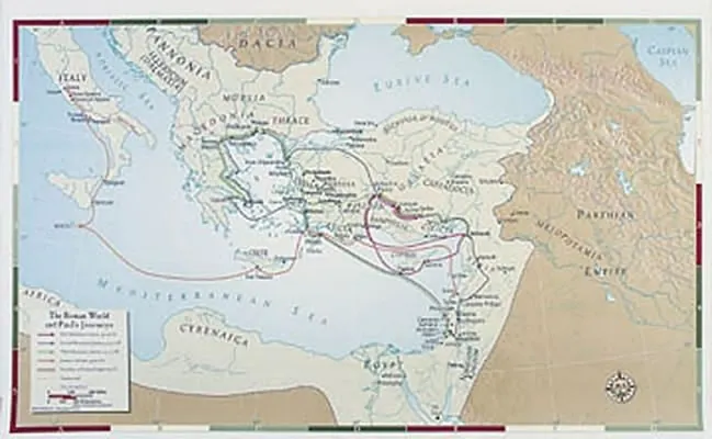
Enhance in-depth Bible study classes for youth and adults with this clear and concise map of The Roman World and Paul's Journeys. The map features a location index/finder printed on the back to help you locate sites; it is 26 x 40, and is printed in full color on waterproof polyethylene film that resists wear and tear for years of service. This map was created by Oxford cartographers using the most current biblical archaeological findings. This map may be purchased individually or in a money-saving set, packaged with a chart head and tripod for classroom use. To see the full selection Bible Land Maps from Abingdon Keyword Search: Abingdon Bible Land Map and click Search.
$59.99
$59.99
Click & collect: Select your store
Get information on product availability in store.
Publisher Description
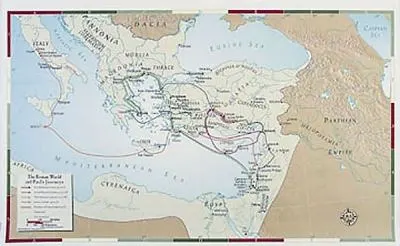
Enhance in-depth Bible study classes for youth and adults with this clear and concise map of The Roman World and Paul's Journeys. The map features a location index/finder printed on the back to help you locate sites; it is 26 x 40, and is printed in full color on waterproof polyethylene film that resists wear and tear for years of service. This map was created by Oxford cartographers using the most current biblical archaeological findings. This map may be purchased individually or in a money-saving set, packaged with a chart head and tripod for classroom use. To see the full selection Bible Land Maps from Abingdon Keyword Search: Abingdon Bible Land Map and click Search.